Scheduled drone, ground, and interior coverage for active jobsites.
-
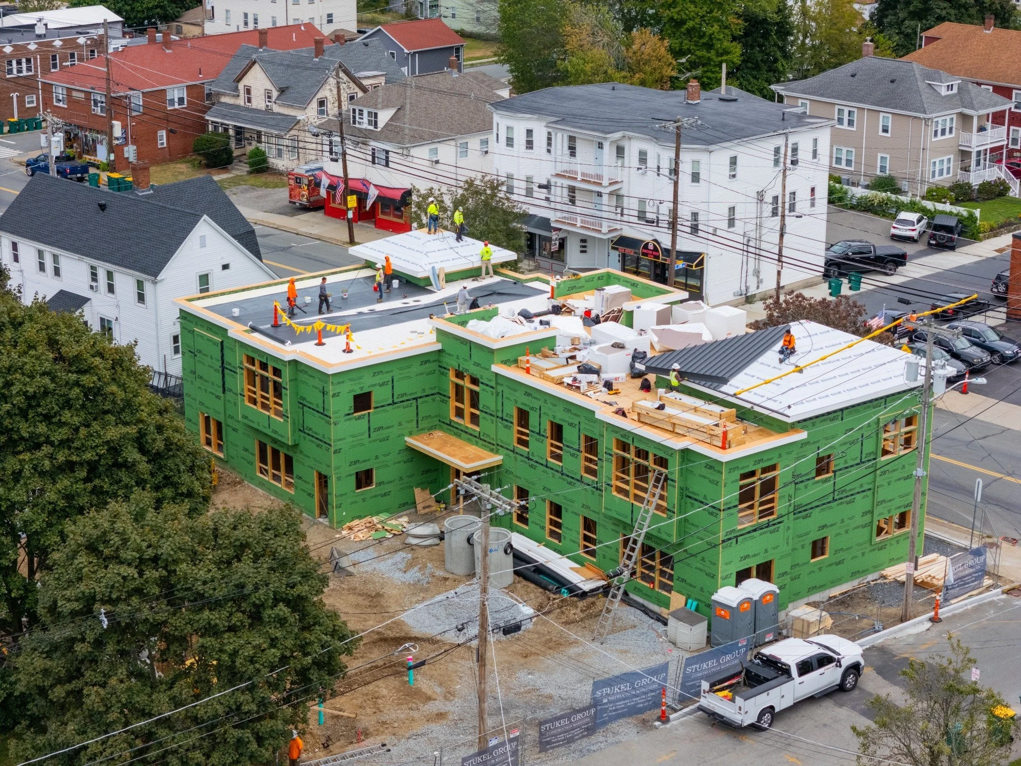
Construction Documentation
We document each phase of the project so your team has a clean visual record of progress, conditions, completed work, and site changes. Every visit is organized into folders and delivered ready for reports, owner updates, marketing, and final recap content.
-
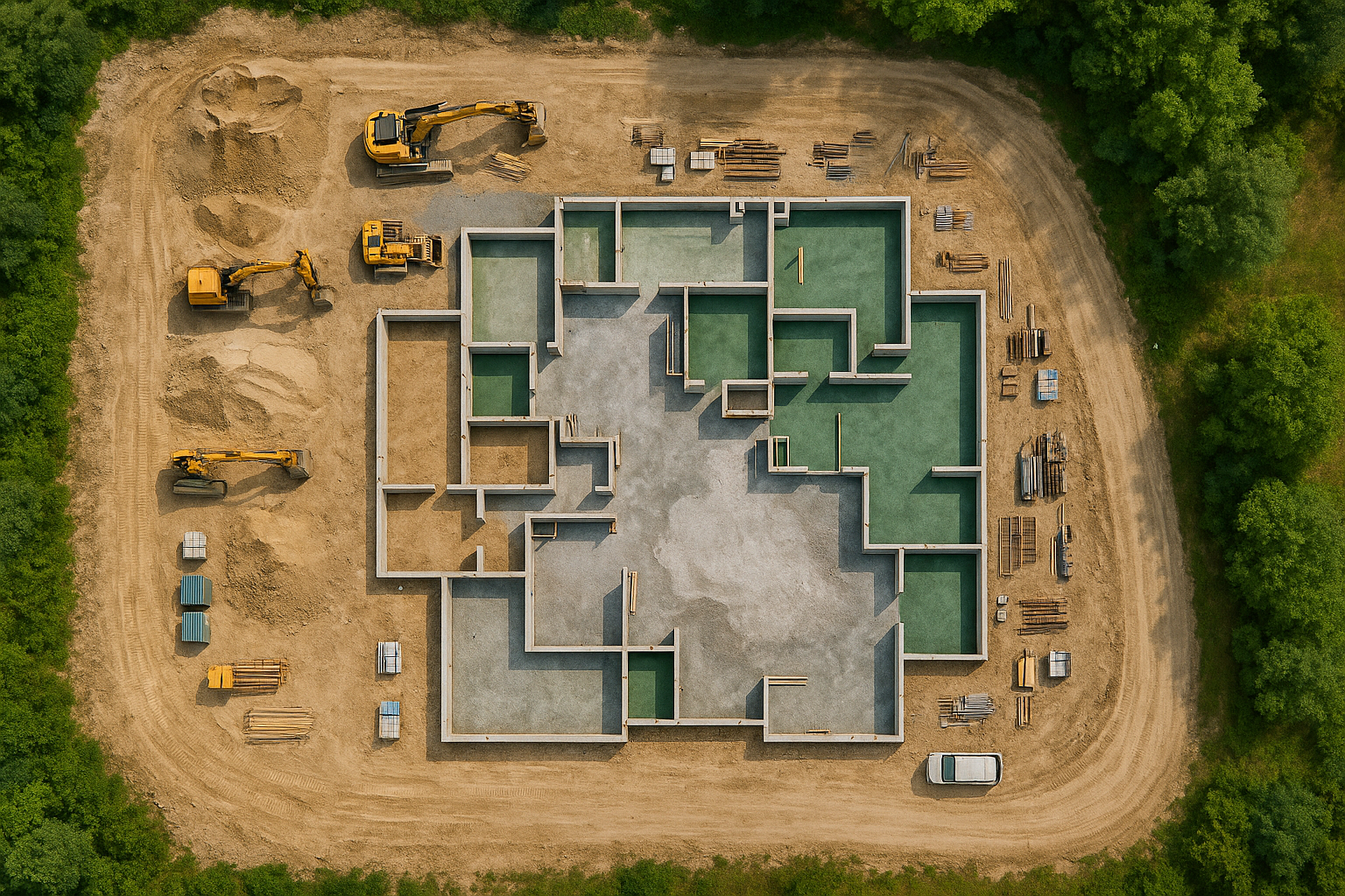
aerial Mapping and surveying
We use drone technology to create accurate visual maps and site data for construction, engineering, and land development. From orthomosaics to elevation models, our mapping captures every detail—helping teams measure progress, plan efficiently, and make confident, data-driven decisions.
-
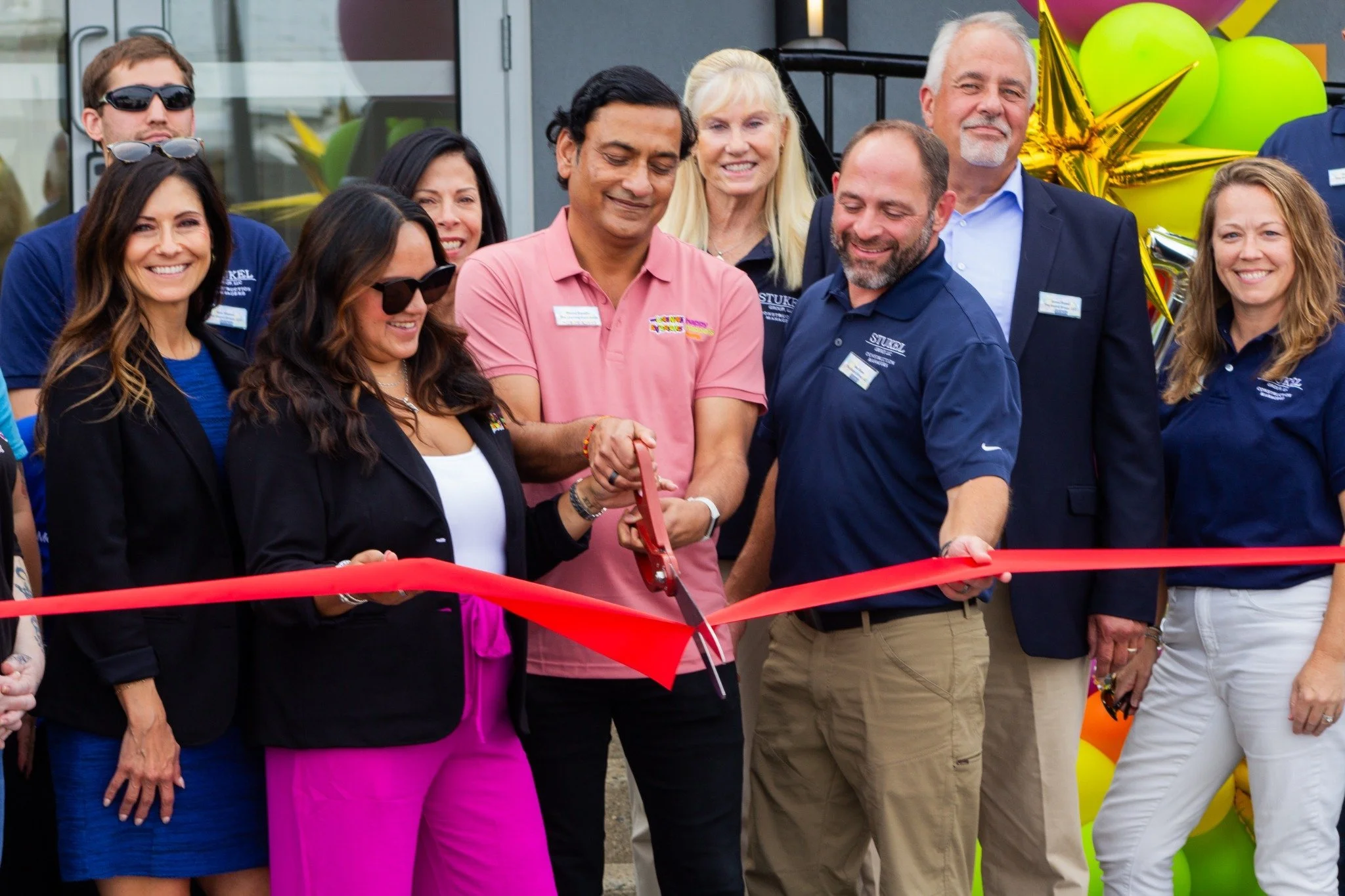
Marketing Content From the Work You’re Already Doing
Every site visit can also produce content for your website, social media, proposals, hiring, recruiting, and project portfolio. We build a visual library while the job is actually happening.